
Nagaland: A recent study by Nagaland University has highlighted the urgent need for a scientific and geospatial approach to tackle the growing problem of soil erosion in the hilly regions of Northeast India.
Researchers emphasized that adopting Geographic Information System (GIS)-based solutions can significantly reduce soil degradation while improving agricultural productivity, water availability, and long-term environmental sustainability.
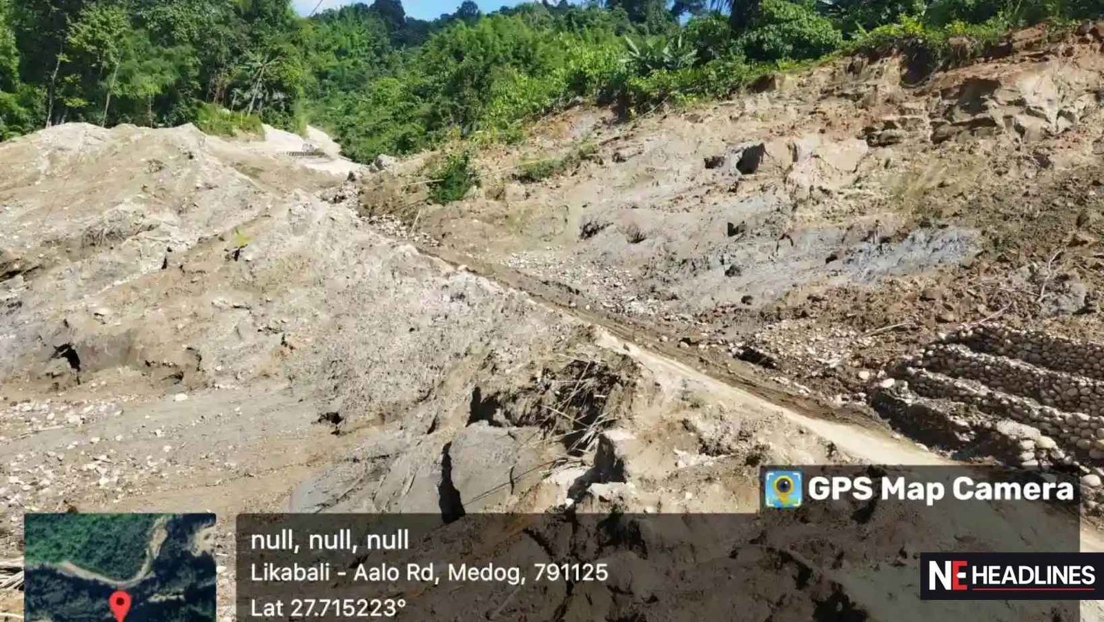
Soil erosion has emerged as a major ecological concern in the eastern Himalayan region, severely impacting farmland, water resources, and ecological balance. The issue is driven by factors such as steep terrain, heavy rainfall, deforestation, unscientific land use, and increasing human activities including shifting cultivation, mining, and infrastructure development.
The study focused on the Siji watershed in the Gai River Basin in Assam, identified as one of the most erosion-prone areas. Using the Revised Universal Soil Loss Equation (RUSLE) integrated with GIS modelling, researchers assessed soil erosion and sediment transport by analysing rainfall, soil characteristics, slope gradient, land use, and conservation practices.
Findings revealed that areas with dense forest cover and gentle slopes experience minimal erosion, while regions with steep slopes, croplands, barren land, and areas affected by human activity face significantly higher risks. In several locations, erosion levels were found to be alarmingly high.
To address the issue, researchers recommended an Integrated Watershed Management (IWM) approach, including sustainable land-use planning and measures such as contouring, terracing, and increasing vegetation cover to reduce soil loss and improve water retention.
The study, co-authored by Prof. M. S. Rawat and other researchers, has been published in a peer-reviewed journal and is being seen as a significant step toward addressing one of the region’s key environmental challenges.
Experts believe that the GIS-based framework can be adapted to other regions with similar geographical conditions, offering a scalable solution to combat soil erosion. They also stressed the need for further research, including flood prediction models and improved monitoring systems, to mitigate future environmental risks.